ကတန်ကျွန်း
ကတန်ကျွန်း (အင်္ဂလိပ်: Kadan Island) သည် မြိတ်ကျွန်းစုအတွင်းရှိ အကြီးဆုံးကျွန်းဖြစ်ကာ ၄၅၀ စတုရန်းကီလိုမီတာ ကျယ်ဝန်းသည်။ ကျွန်းရှိ French Bay Peak သည် ၇၆၇ မီတာ (၂၅၁၆ ပေ) မြင့်ကာ မြိတ်ကျွန်းစုတွင် အမြင့်ဆုံးနေရာဖြစ်သည်။[1][2]

ကတန်ကျွန်း
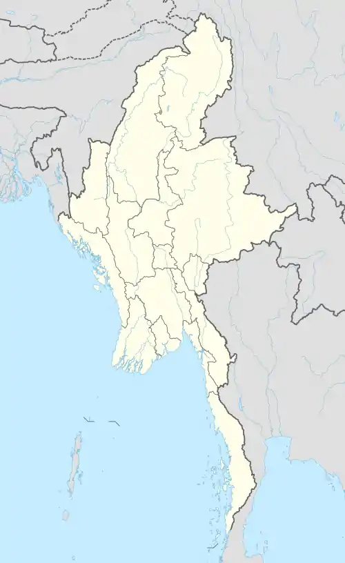
ကတန်ကျွန်း၏ တည်နေရာ
အမည်ခေါ်ဝေါ်ပုံ
ဗြိတိသျှအုပ်စိုးစဉ်အခါက ဘုရင်ကျွန်း [1][3] (King's Island)[4] ဟု ခေါ်ဝေါ်ခဲ့သော်လည်း နောက်ပိုင်းတွင် ဒေသအခေါ်အဝေါ်ဖြစ်သည့် ကတန်ကျွန်းဟု ပြောင်းလဲခဲ့သည်။[5]
ကိုးကား
- "Burma 1:250,000 topographic map, Series U542, Mergui, ND 47-14" U.S. Army Map Service, August 1962
- Bird, Eric C. F. (2010) Encyclopedia of the World's Coastal Landforms Springer Verlag, Netherlands, page 1085, ISBN 978-1-4020-8638-0
- "King Island (Approved)"ကတန်ကျွန်း at GEOnet Names Server, United States National Geospatial-Intelligence Agency
- "King's Island (Variant)" ကတန်ကျွန်း at GEOnet Names Server, United States National Geospatial-Intelligence Agency
- Klinkmüller, Volker et al. (2003) "Kadan Kyun (Kyunsu)" Myanmar DuMont-Reiseverlag, Ostfildern, Germany, page 471 ISBN 3-7701-6147-5, in German
This article is issued from Wikipedia. The text is licensed under Creative Commons - Attribution - Sharealike. Additional terms may apply for the media files.
