သာဂရ
Dropped pin https://goo.gl/maps/F4TfUZCWFFCaXagm7
| သာဂရ | |
|---|---|
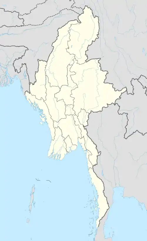 သာဂရ | |
| ကိုဩဒိနိတ်: MM 19.3154734°N 96.2840540°E | |
| နိုင်ငံ | |
| တိုင်းဒေသကြီး | ပဲခူးတိုင်းဒေသကြီး |
| ခရိုင် | တောင်ငူခရိုင် |
| မြို့နယ် | ရေတာရှည်မြို့နယ် |
| ကျေးရွာအုပ်စု | Thargaya[1] |
သာဂရ
ကိုးကား
- GAD, Feb 2011.
မြို့တော် : ရန်ကုန်မြို့ မြို့နယ်ပေါင်း : (၄၆) မြို့နယ် | ||
| ရန်ကုန်အနောက်ပိုင်းခရိုင် | 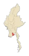 | |
| ရန်ကုန်အရှေ့ပိုင်းခရိုင် | ||
| ရန်ကုန်မြောက်ပိုင်းခရိုင် |
| |
| ရန်ကုန်တောင်ပိုင်းခရိုင် | ||
| မြို့များ | ||
This article is issued from Wikipedia. The text is licensed under Creative Commons - Attribution - Sharealike. Additional terms may apply for the media files.